Jhomolhari trek
Paro trek - 10 nights 11 days
DAY 01 - Arrival at Paro
The trekking group assembles for briefing. Overnight in Hotel.
DAY 02 - Paro-Shana (Distance: 17 km, time: about 5 ½ hours.)
Drive up to Drugyel Dzong where the road ends and the trek begin. Follow the river gently uphill through a narrow agricultural valley, passing by village houses. Camp just beyond the army post at an altitude of 2,800 m.
DAY 03 - Shana – Soi Thangthangkha
Continue uphill through the river valley. It narrows and closes in and the trail winds along the drainage. The trek is mostly downhill. Camp is in a meadow with a stone shelter for trekkers.
DAY 04 - Soi Thangthangkha – Jangothang (Distance: 19 km, time: about 5 ½ hours.)
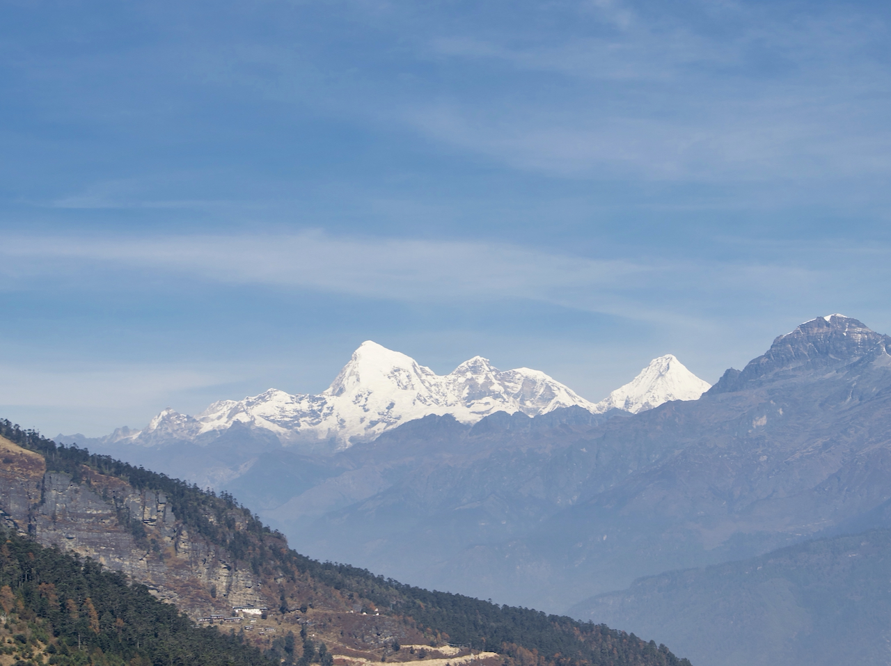
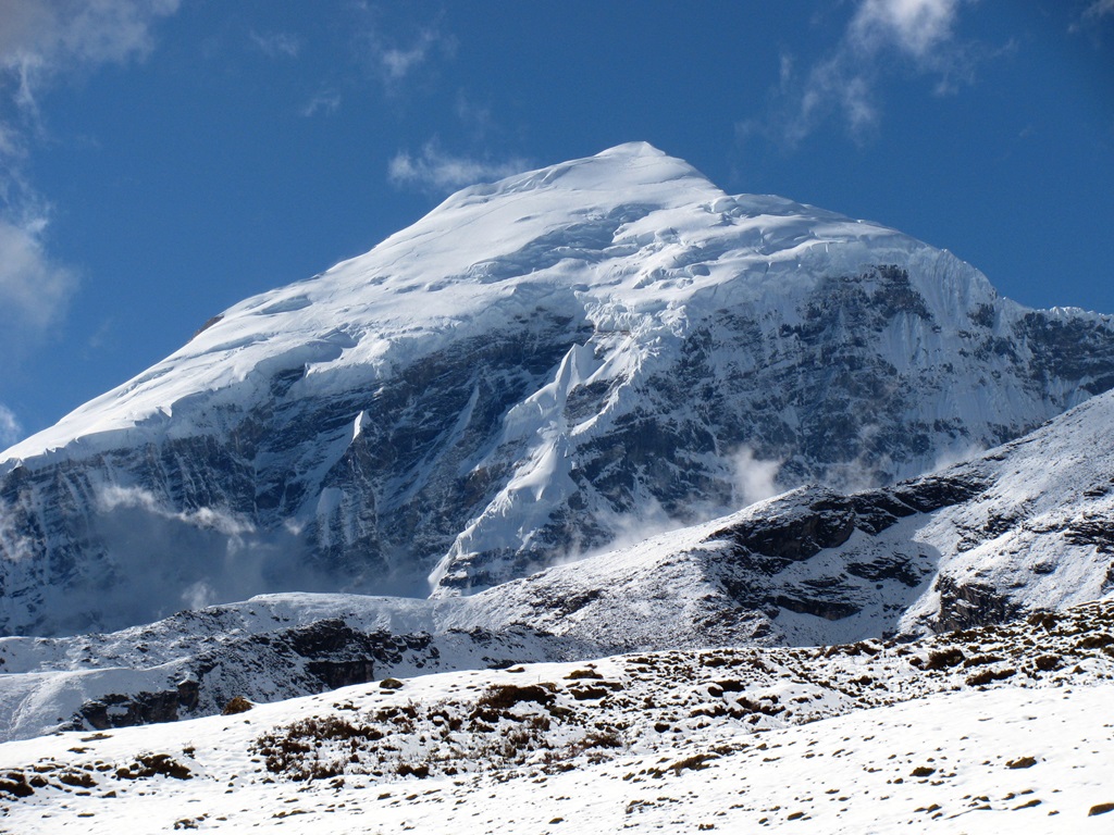
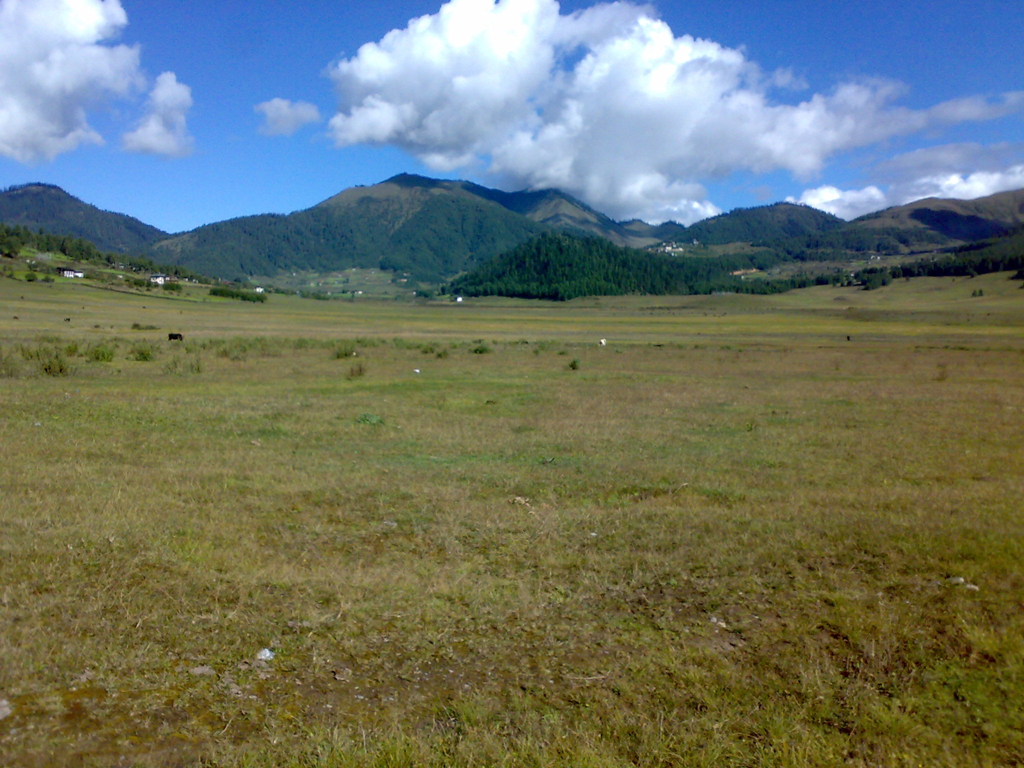
Continue up the Pa Chhu (river). Pass a small army post where the valley begins to widen again to offer views of high ridges and snow-capped peaks. You may see yak herders’ winter homes. Camp beneath a ruined fortress at the base of Mount Jhomolhari at an altitude of 4,040 m.
Day 05 - Jangothang – excursions
Trek up to Tsophu for fishing or do any one of the three hiking excursions. Mount Jhomolhari and its subsidiary are due west, Mount Jichu Drake is to the north, and unclimbed summits and ridges are to the east.
Day 06 - Jangothang – Lingshi (Distance: 19 km, time: about 5 ½ hours.)
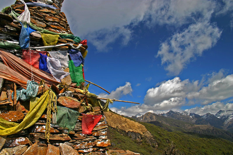
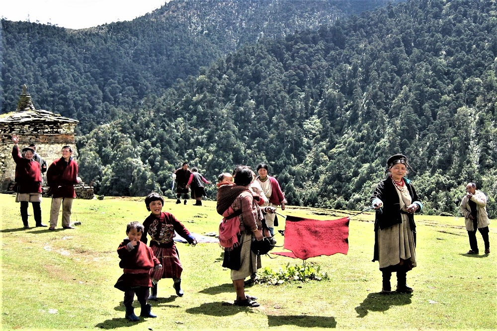
Wide yak pastures are visible both on the way up and down the pass. You may encounter some nomads in their yak tents depending on the time of year you are there. Great views of Lingshi Dzong as you come down into the Lingshi basin. Tserim gang and its descending glaciers are at the north end of the valley. Camp inside the stone shelter or in a tent at an altitude of 4,150 m.
Day 07 - Lingshi – excursion (Distance: 15 km, time: about 3 ½ hours.)
On this day, halt at Lingshi for one day excursion to Tsokha, the base camp of Jichu Drake. Large herds of blue sheep and musk deer may be seen. Altitude: 4,500 m.
Day 08 - Shodu – Barshong (Distance: 13 km, time: about 3 ½ hours.)
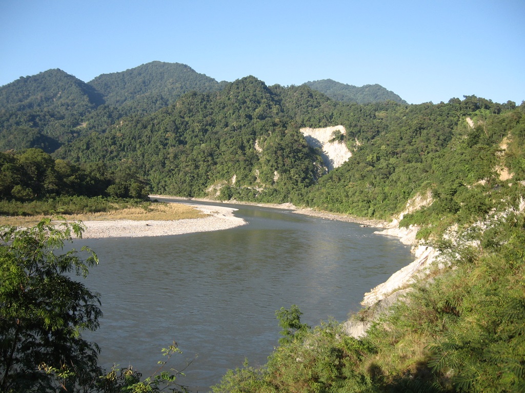
Follow Thim Chhu through the forest with rhododendron and waterfalls, the river then narrows and closes in and the trail winds along the drainage, ascending to the ruins of Barshong Dzong. Camp just below the ruined dzong in a stone shelter at an altitude of 3,785 m.
Day 09 - Shodu – Barshong (Distance: 13 km, time: about 3 ½ hours.)
Follow Thim Chhu through the forest with rhododendron and waterfalls, the river then narrows and closes in and the trail winds along the drainage, ascending to the ruins of Barshong Dzong. Camp just below the ruined dzong in a stone shelter at an altitude of 3,785 m.
Day 10 - Barshong – Dolam Kencho (Distance: 11 km, time: about 3 ½ hours.)
Descend gradually to meet Thim Chhu, passing through forests of rhododendron and ascend once again into pastureland. Camp in a meadow at an altitude of 3,628 m.
Day 11 - Dolam Kencho – Thimphu (Distance: 14 km, time: 4 ½ hours.)
Continue uphill through the forest to a small pass. The trail winds up and down along the drainage. Wild animals may be seen. At Dodina, meet the transportation for drive to Thimphu. Overnight at Hotel.
Note: If you so wish it is possible to return from Jangothang or Lingshi via the same route.